Topography
Geology
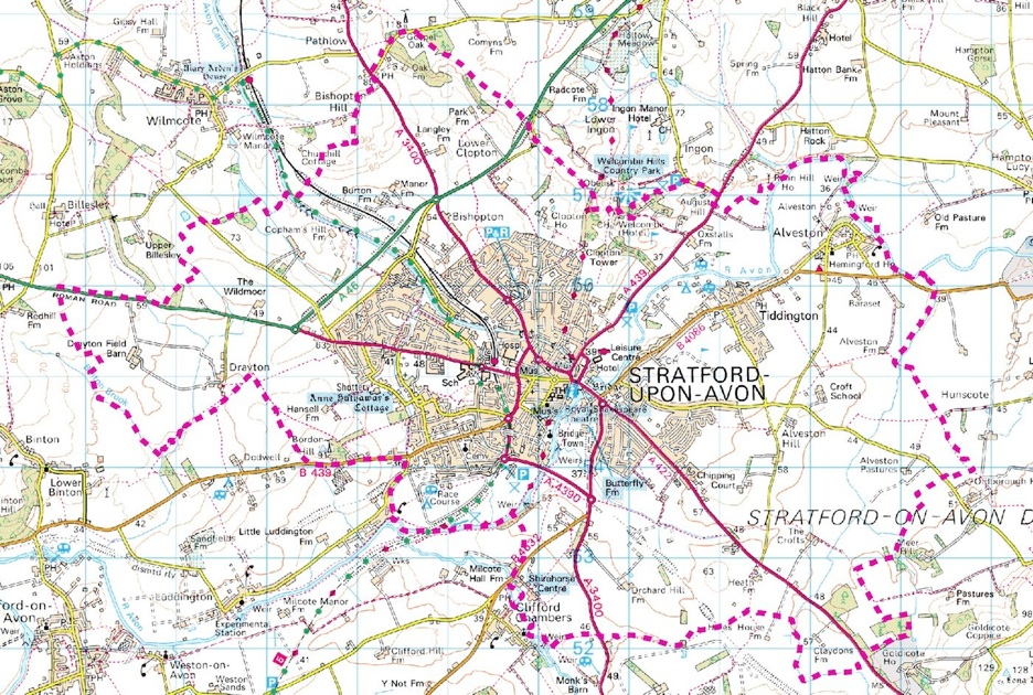
Geographic Location

SLHS: Geography: Stratford


Disclaimer
Whilst some care has been taken to check externally linked websites no responsibility is offered nor implied for the suitability, legality or reliability of content therein.
Statements are made here to the best of our knowledge. However no statement here should be regarded as irrefutable fact. Please contact us if you consider otherwise.
Overview Of Rock Classifications
WCGC state that:
-
“Stratford’s geology is 225 million years old made up of White Lias, Blue Lias, Horton Stone and Cotswold Limestone – Jurassic marine limestones and mud stones. These latter 200 million year old layers are often rich in fossils.
-
The local rock is Mercia Mudstone covered by gravelly river deposits. Neither is suitable for building so stone had to be brought from further afield. Stones used were:
-
•Arden and Warwick Sandstones – Triassic desert rocks c225 million years
-
•White Lias, Blue Lias, Horton Stone and Cotswold Limestone”
For more details download the WGCG leaflet in Further Information below.
Further Information..
Overview
-
Buildings in Stratford: StratfordsGeology&BuildingMaterials_WGCG-WarwickMuseum.pdf
-
List of SDC’s commissioned ecological and geological studies of villages around Stratford: SDC: Core Study Documents
-
The version for Stratford is enormous currently called “Ecological & Geological Assessment of Main Settlements WDC 2009” available here: SDC:Natural Environment Technical Evidence
-
Archaeology
-
Presentation (4.3Mb): New Place Dig.pdf
● These items have aspects that uniquely contribute to national or world history.
-
● Full
-
● Partial
-
● None
-
Theatres ●

To return to Master Page click on ‘Geography’ above.
Last update: 31/10/2024
Created: 16/08/2024

Stratford is located here because, as its Saxon name suggests, it was easy to cross the River Avon here.
This belies the fact that the Avon is actually falling at a reasonable rate here and so the building of mills was profitable.
The local forests were of sturdy oak, a premium building material. The rivers yielded strong reeds for rooves -sadly Stratford suffered some catastrophic fires. Whilst it was later found that the local building stone was poor, and had to be transported in, there were copious quantities of aggregate which could be fired to make bricks (see diagram below and Espleys), generate lime for mortar and to render the walls.
With Cotswold sheep and dairy farming bringing in a steady good income local people were industrious. The town had been planned and the local school supported by a wealthy Guild. Both the Clopton and Flower families brought acumen to the town. A huge, river based wood merchant, Cox’s, had provided sawn timber of the best quality,
Later, with a key canal and two competitive railway companies, trade in all goods for living thrived and the population increased dramatically. The icing on the cake came when William Shakespeare’s plays and sonnets, and Marie Corelli’s novels, were made popular.

Natural Features
The Avon Valley for its whole length isn’t interrupted by tough rock formations but, as mentioned on the Warwickshire page, was left broad and easy by the glaciers at the end of the Ice Age.
Whilst Stratford does suffer from some flooding nowadays, due to man’s constriction of the River Avon at Lucy’s Mill weir. However there’s no confluence of any other tributary here and therefore no major bottle-neck when winter rains come. During times of very heavy rainfall, which may not occur in Stratford but upstream, the Rivers Authority have to judge how much storm water to hold back in Stratford to prevent property damage further downstream
In fact at the very place where it was once forded Mudstone is exposed and this is why building the Clopton and Tramway bridges here was so easy and remain standing to this day.

Age Of Rocks
Below a large swathe of Warwickshire, including Stratford, is brick clay (see light brown in diagram below) hence the Espley Brickworks on the Brmingham Road.
On top of that, where the River Avon had flowed for millions of years, it brought down large quantities of alluvial sand and gravel (see diagonal hatched area). This is why Stratford’s wells so easily got contaminated by water from the Guild Pitts Sewer.
Rock Classifications
Hillside Amenity
Stratford has one main hillside amenity. See historic parkland: Welcombe Hills